
ios-platform · folio
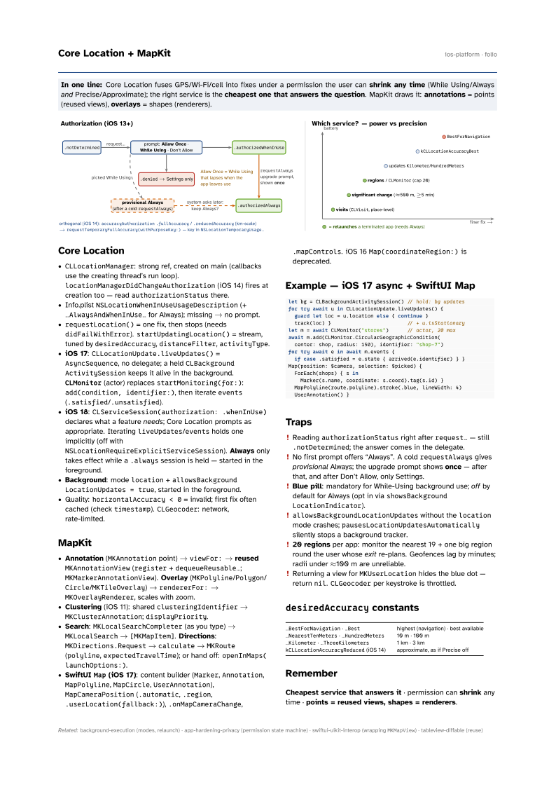
In one line: Core Location fuses GPS/Wi-Fi/cell into fixes under a permission the user can shrink any time (While Using/Always and Precise/Approximate); the right service is the cheapest one that answers the question. MapKit draws it: annotations = points (reused views), overlays = shapes (renderers).
Download PDF Print view LaTeX source

Core Location
CLLocationManager: strong ref, created on main (callbacks use the creating thread’s run loop).locationManagerDidChangeAuthorization(iOS 14) fires at creation too — readauthorizationStatusthere.- Info.plist
NSLocationWhenInUseUsageDescription(+…AlwaysAndWhenInUse…for Always); missing → no prompt. requestLocation()= one fix, then stops (needsdidFailWithError).startUpdatingLocation()= stream, tuned bydesiredAccuracy,distanceFilter,activityType.- iOS 17:
CLLocationUpdate.liveUpdates()=AsyncSequence, no delegate; a heldCLBackgroundActivitySessionkeeps it alive in the background.CLMonitor(actor) replacesstartMonitoring(for:):add(condition, identifier:), then iterateevents(.satisfied/.unsatisfied). - iOS 18:
CLServiceSession(authorization: .whenInUse)declares what a feature needs; Core Location prompts as appropriate. IteratingliveUpdates/eventsholds one implicitly (off withNSLocationRequireExplicitServiceSession). Always only takes effect while a.alwayssession is held — started in the foreground. - Background: mode
location+allowsBackground LocationUpdates = true, started in the foreground. - Quality:
horizontalAccuracy < 0= invalid; first fix often cached (checktimestamp).CLGeocoder: network, rate-limited.
MapKit
- Annotation (
MKAnnotationpoint) →viewFor:→ reusedMKAnnotationView(register+dequeueReusable…;MKMarkerAnnotationView). Overlay (MKPolyline/Polygon/Circle/MKTileOverlay) →rendererFor:→MKOverlayRenderer, scales with zoom. - Clustering (iOS 11): shared
clusteringIdentifier→MKClusterAnnotation;displayPriority. - Search:
MKLocalSearchCompleter(as you type) →MKLocalSearch→[MKMapItem]. Directions:MKDirections.Request→calculate→MKRoute(polyline,expectedTravelTime); or hand off:openInMaps(launchOptions:). - SwiftUI
Map(iOS 17): content builder (Marker,Annotation,MapPolyline,MapCircle,UserAnnotation),MapCameraPosition(.automatic,.region,.userLocation(fallback:)),.onMapCameraChange,.mapControls. iOS 16Map(coordinateRegion:)is deprecated.
Example — iOS 17 async + SwiftUI Map
let bg = CLBackgroundActivitySession() // hold: bg updates
for try await u in CLLocationUpdate.liveUpdates() {
  guard let loc = u.location else { continue }
  track(loc) }                         // + u.isStationary
let m = await CLMonitor("stores")      // actor, 20 max
await m.add(CLMonitor.CircularGeographicCondition(
  center: shop, radius: 150), identifier: "shop-7")
for try await e in await m.events {
  if case .satisfied = e.state { arrived(e.identifier) } }
Map(position: $camera, selection: $picked) {
  ForEach(shops) { s in
    Marker(s.name, coordinate: s.coord).tag(s.id) }
  MapPolyline(route.polyline).stroke(.blue, lineWidth: 4)
  UserAnnotation() }
Traps
- Reading
authorizationStatusright afterrequest…— still.notDetermined; the answer comes in the delegate. - No first prompt offers “Always”. A cold
requestAlwaysgives provisional Always; the upgrade prompt shows once — after that, and after Don’t Allow, only Settings. - Blue pill: mandatory for While-Using background use; off by default for Always (opt in via
showsBackgroundLocationIndicator). allowsBackgroundLocationUpdateswithout thelocationmode crashes;pausesLocationUpdatesAutomaticallysilently stops a background tracker.- 20 regions per app: monitor the nearest 19 + one big region round the user whose exit re-plans. Geofences lag by minutes; radii under ≈100 m are unreliable.
- Returning a view for
MKUserLocationhides the blue dot — returnnil.CLGeocoderper keystroke is throttled.
desiredAccuracy constants
…BestForNavigation · …Best | highest (navigation) · best available |
…NearestTenMeters · …HundredMeters | 10 m · 100 m |
…Kilometer · …ThreeKilometers | 1 km · 3 km |
kCLLocationAccuracyReduced (iOS 14) | approximate, as if Precise off |
Remember
Cheapest service that answers it · permission can shrink any time · points = reused views, shapes = renderers.